Professional and Trustworthy
Aerial UAS Solutions
Bringing a New Perspective to Your Property
Unlock the Potential of Your Property with 3D Mapping & Construction Progress Tracking
Experience your property in a whole new way with interactive 3D models that includes built-in measuring tools. Perfect for planning, visualizing, and tracking progress throughout your project.
✅ Visualize building additions, landscaping, driveways, and more
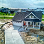
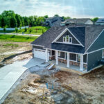
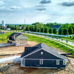
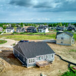
✅ Monitor construction with before-and-after 3D models and high-resolution photos
✅ Estimate areas, distances, and elevations with ease
✅ Save time and money by identifying issues early and planning smarter
Whether you’re starting from scratch or managing an ongoing build, our 3D mapping keeps you informed and in control every step of the way.
Contact us today to see your property like never before!
Note: These models are not survey-grade and should not be used for legal or boundary determinations. They are designed for visual planning, documentation, and contractor coordination.
With the Skyebrowse viewer, you can interact with the model and use built-in tools to take measurements.
Aerial Progress Photographs Included

One Time Project
- 3d model of Home with measuring tools for project planning
- Overall Property photos
- Ortho Photo of property
Packages available for long term projects. Contact use here!


